By James Nyaigoti
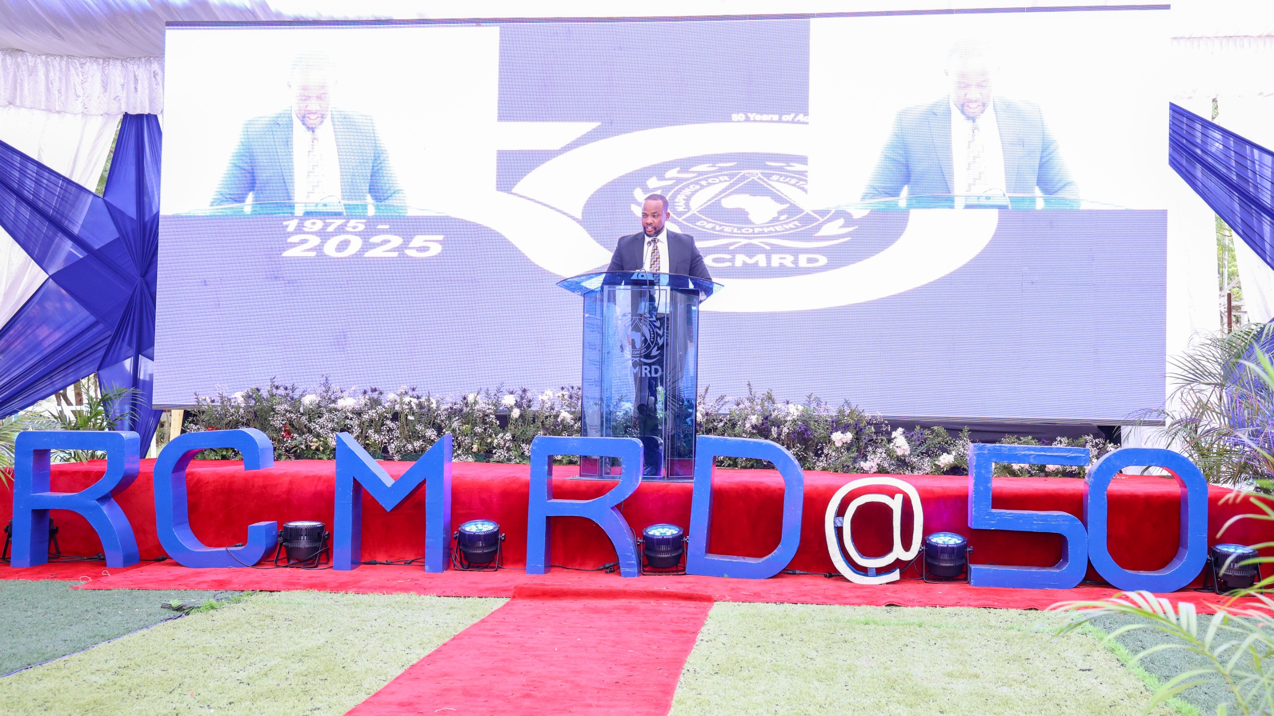
Regional Centre For Mapping Of Resources For Development (RCMRD) Celebrated it’s 50th Anniversary marking five decades of pioneering geo-Spatial solutions for sustainable development across Africa.
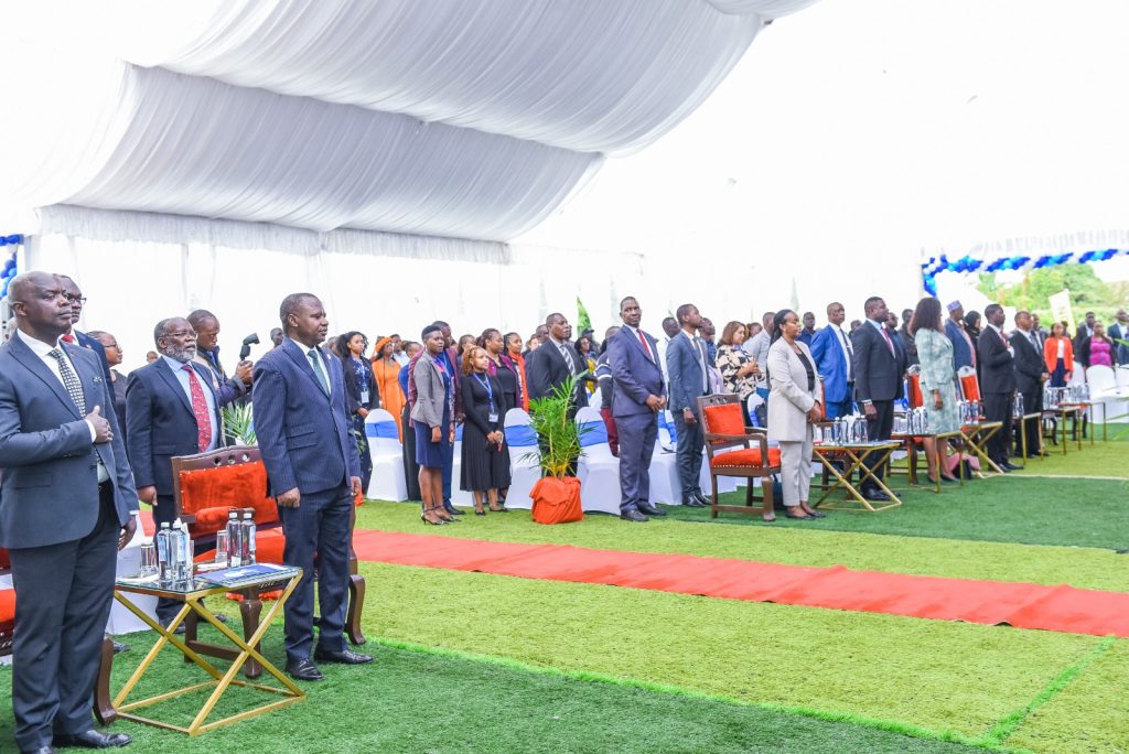
The RCMRD@50 celebrations were graced by the Principal Secretary, State Department for Lands and Physical Planning, Hon. Nixon Korir. Various key stakeholders included; RCMRD Governing Council Chair, Ministry of Lands and Natural Resources, Zambia Hon. Patrick Mucheleka
-Minister of Lands Malawi -Hon. Deus Gumb-who was the Chief Guest, RCMRD Director General Dr. Emmanuel Nkutunziza and other stakeholders.
“We are here to celebrate together with RCMRD its 50th anniversary, marking five decades of pioneering geo-spatial solutions for sustainable development across Africa. The event brings together government officials, scientists, policymakers, and stakeholders to reflect on past achievements and chart the future of geospatial innovation. During this golden jubilee, it is worth noting that this institution has contributed a lot in empowering Nations which came together and formed this body. Its contributions range from regional collaboration, technological advancements, land administration, to environmental sustainability.”Said PS Nixon Korir.
He further observed that, Over the decades, RCMRD has been a bridge connecting nations, fostering partnerships, and sharing knowledge to solve pressing challenges. From cross-border mapping projects to coordinated disaster response efforts, we have seen firsthand how unity transforms possibilities into reality.
There is a need for a continent where data flows seamlessly across borders, empowering policymakers, scientists, and communities. This vision is no longer a dream but a shared commitment, strengthened by the cooperation of governments, institutions, and stakeholders who believe in the power of collaborative solutions.
He urged all stakeholders to deepen the partnerships and embrace open data, joint innovation, and collective action to tackle climate change, urban expansion, and resource management. RCMRD’s legacy is built on collaboration.
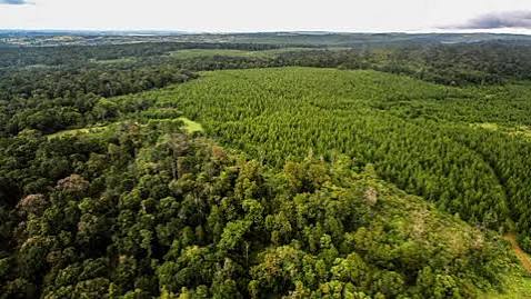
Sustainable resource management through effective and efficient land administration cannot be over emphasized. For decades, land ownership and usage have been at the heart of governance, agriculture, and community livelihoods. Yet, challenges such as land disputes, tenure insecurity, and rapid urbanization demand innovative solutions. RCMRD has been instrumental in digitizing land records, promoting transparent land governance, and providing geospatial tools to support decision-makers.
An Africa where every farmer has secure land tenure, where urban planning is data-driven and inclusive, and where land policies foster equitable access should be realized. With advancements in GIS, satellite imagery, and blockchain-based land registries, RCMRD is shaping this future one where land resources are mapped, monitored, and managed sustainably.
The next era of geospatial technology will bridge gaps, empower decision-makers, and transform the way we interact with our planet. There is need to continue investing in research, fostering technological partnerships, and building capacity among Africa’s future innovators.
The Ministry is ready to have an upgraded collaboration with RCMRD, especially now when rolling out the National Land Information Management System, also dubbed as ARDHISASA system.